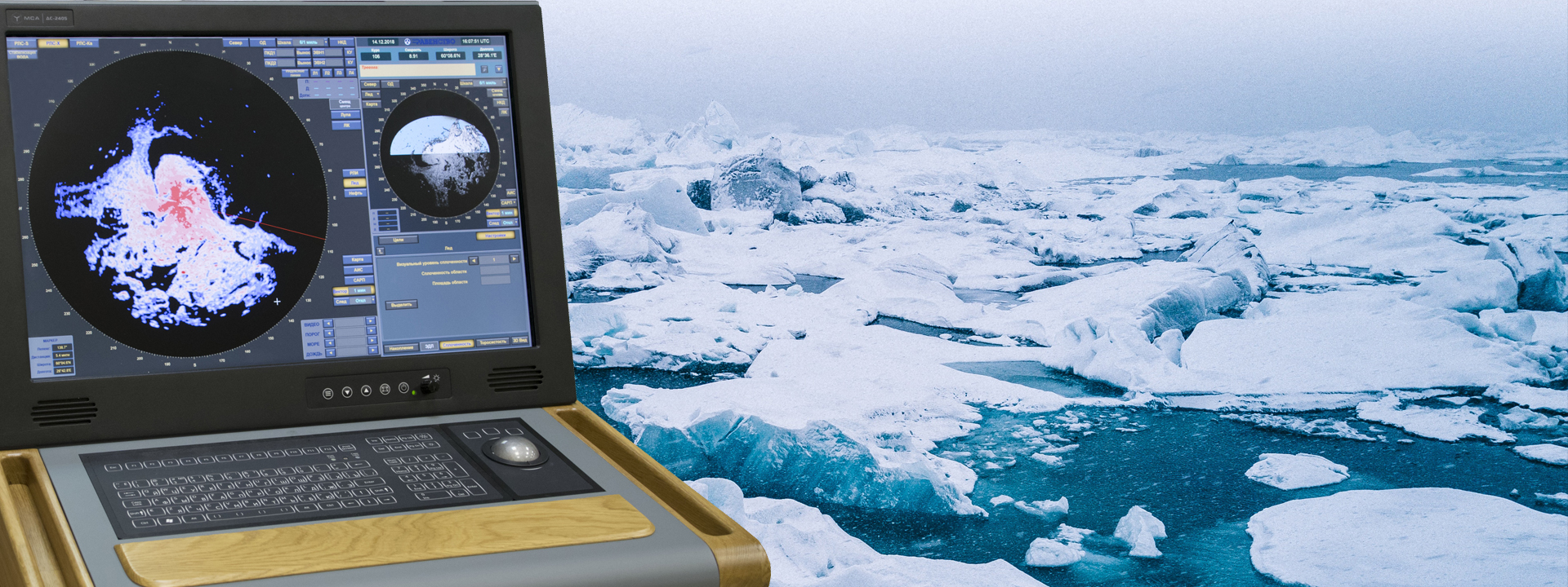
РАДИОЛОКАЦИОННЫЙ ИНДИКАТОР ЛЕДОВОЙ ОБСТАНОВКИ "ЛЬДИНКА"
"Ldinka" provides:
- Receiving, processing and displaying data from ship navigation radar of the centimeter and millimeter ranges;
- Receiving information from navigation sensors (course, speed, etc.);
- Combining radar image with the electronic map;
- Detection of ice objects, measurement of its linear dimensions, coordinates and motion elements (course and speed);
- Parameters estimation of cohesion and hummocking of the ice fields;
- Ice conditions 3D image;
- Receiving and display of automatic identification system information;
- Archiving - information recording on digital media with the possibility of further viewing;
- Information transfer to other systems.


© АО "Равенство" 2006-2022гг.